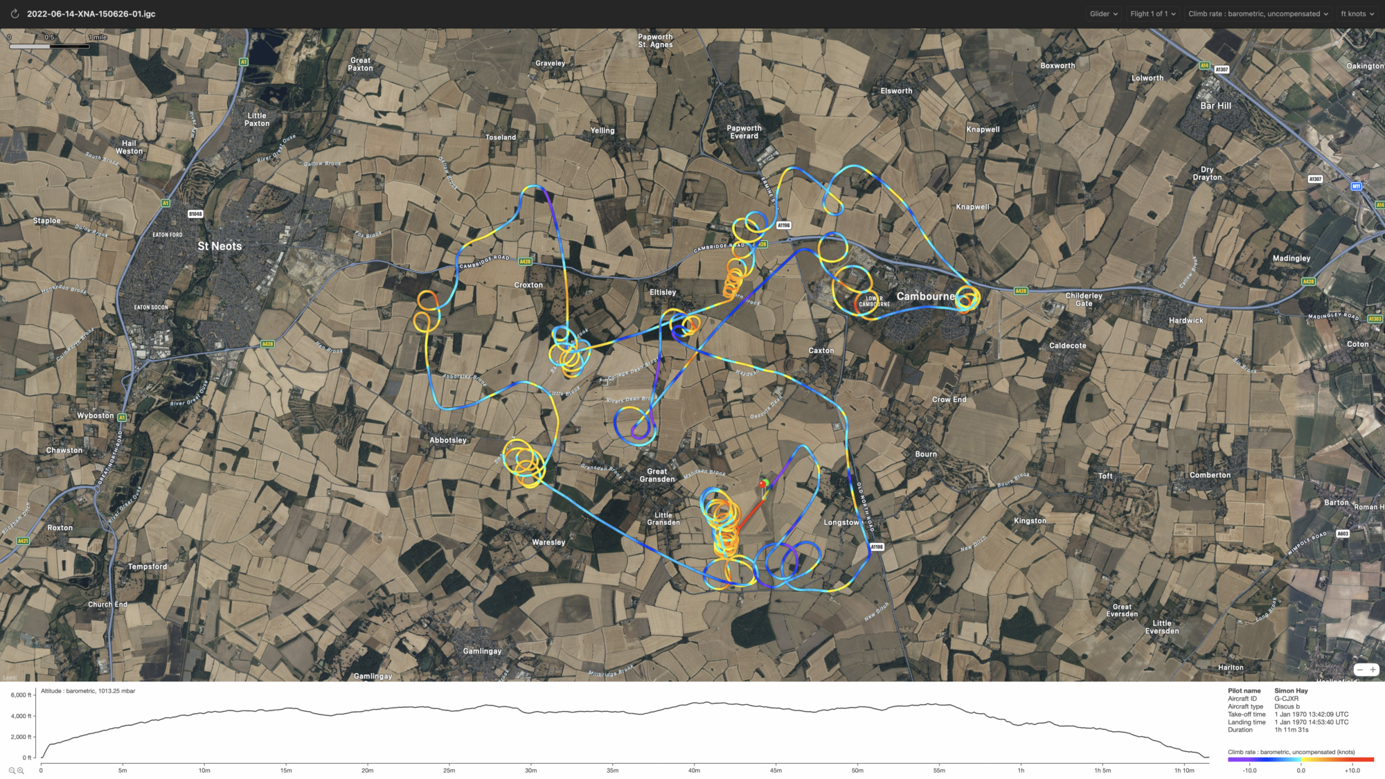
Keeping track of your progress learning to fly can be more than just keeping your logbook up to date, there’s a range of navigation and tracking software that glider pilots can use to create a digital record of each flight. All you need is a smart phone with GPS. As long as you can run Apple or Google Maps you will be able to use your current phone. If you are on Android then XCSoar is the first choice for many pilots as it’s been around a long time, is frequently updated and above all, is free. If you prefer Apple iOS your best option is Navigator from Naviter. It’s not free, but is an excellent program and is available on iOS, Android and as a complete unit with custom hardware, including an excellent bright screen.

For early flying the navigation aspect of the program isn’t going to get much use as you’ll be within sight of the field and rather busy focused on just flying, so to begin with don’t mount your phone anywhere – just keep it in a leg pocket while you fly. The software will happily log your flight while the screen is off, and is smart enough to sense take-offs and landings. Once back on the ground at the end of the day, you’ll have a number of .IGC files you can review. GammaFV works very well on Mac and shows the track overlaid over Google maps. Was my circuit too tight? Did I make my final turn too early or too late? Did I fly neatly parallel on the downwind leg? Was I centred on that thermal as well as I could have been? These are all things it’s possible to easily see from the tracks.

As you advance with your flying you’ll find the navigation and safety aspects of the software will become more important to you, but for the early stages it can be a great way to plot your progress.


